Overview
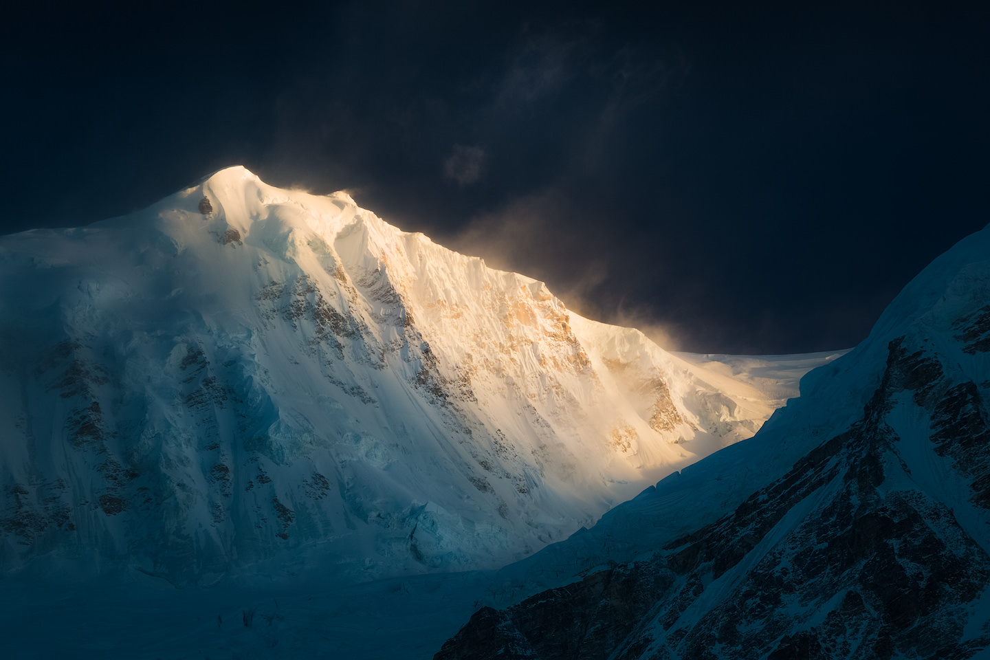
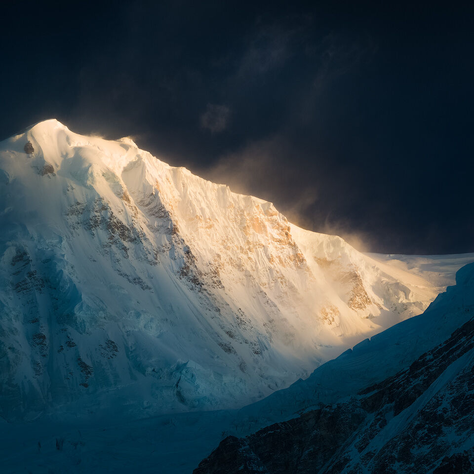
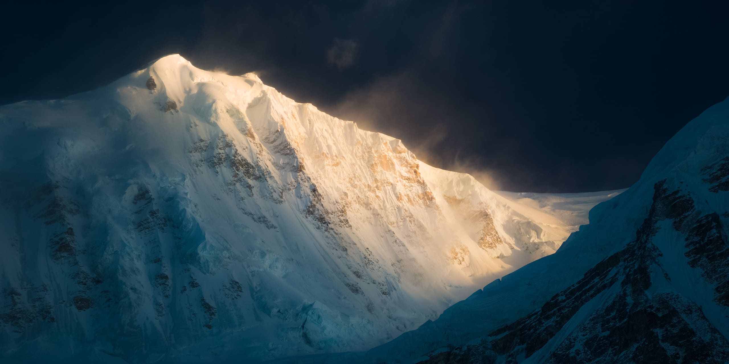
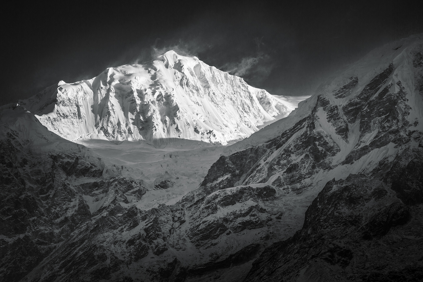
Mount Kabru is located at the heart of both Khangchendzonga National Park (Sikkim, India) and Kanchenjunga Conservation Area (Taplejung, Nepal) and sits a bit south-east of Kangchenjunga, the world’s third highest peak. Kabru literally means “white avalanche”, and looking at its steep and icy slopes it seems to be a fitting name. On a clear day it’s impressive east-face can be seen from many places far way, including the famous town of Darjeeling further south in the Indian province of West Bengal. Although not the highest of the peaks of the Singalila Range, South Kabru’s peak is still a summit with a lot of history, and during the earlier days of mountaineering it even became famous for being the highest point ever reached by a climbing party at that time.
Kabru consists of more than one summit, and even for mountaineers it is easy to get confused by all the peaks called Kabru, along the ridgeline extending south from Kangchenjunga. To make matters worse it is not even clear which of the peaks is to be considered the top of Mount Kabru. The highest point of the ridge (7.412m), was referred to as Kabru III by Major A. Abbey after his group first ascended it, but sometimes gets ignored completely (as in: it is considered the top of a separate mountain). Kabru North, which interestingly lies further to the south, sits at an altitude of 7.338m and is often treated as the real summit of Mount Kabru. Kabru South lies a bit to the south-west of the “north”-summit and has an altitude of 7.318m. Separated a bit more clearly, there’s Kabru Dome, another peak at 6.600m, lying a bit to the south-east.

Kabru South
Quick Info
In this section you’ll find a quick overview of the most important facts about Kabru South together with a map and a few links. Scroll down for a bit of climbing history, and even further down you’ll find sections covering trekking and landscape photography and an exclusive image gallery.
Facts
- Height: 7.318m / 24.009ft
- Mountain Range: Himalayas
- First Ascent: 1994
Location
- Country: India/Nepal
- Province: Sikkim/Province No. 1
- Nearest Airport: Bagdogra Airport (IXB)/Taplejung Airport (TPJ)
Kabru South
On the Map
- GPS: 27°36′30″N / 88°06′42″E
- Lat/Long: 27.608333, 88.111667
Additional Information:
Climbing History
The first recorded attempt to ascend Kabru is believed to have been done by W. W. Graham, Emil Boss and Ulrich Kaufmann in 1883. They claimed to have come all the way to a point around 10-15 meters below the actual summit, their ascent making them the new holders of the high-altitude record of their time. After an anomymous correspondent expressed his doubts in an article in “The Pioneer Mail”, Graham’s claim was refuted by Sir Martin Conway and members of the Alpine Club, and the Indian Survey Department. As a consequence Graham’s achievement got ignored almost to a point where it was forgotten.
But regardless of whether Graham’s accounts were true, there is no doubt that the high-altitude record was set on the slopes of Kabru, as in October 1907, in a remarkable but a little known ascent, a Norwegian pair consisting of C. W. Rubenson and Monrad Aag made an ambitious attempt from the Rathong glacier. They were able to cross the Kabru icefall and reach the saddle between the two summits. However, just as they arrived about 50m below the North summit, their approach was halted by intense cold and high winds.
1st Ascent
Almost thirty years passed after Rubenson and Aag nearly made it to the summit of Kabru, and it was in the year 1936 that british mountaineer C.R. Cooke worked his way up to the top of Kabru North. With his climb he not only made history as the first person to stand on the summit of Mount Kabru, he also held the record for the highest solo climb until 1953 (his companion Gustav Schobert had to turn around during the approach to the summit due to health issues and fear of frostbite, and they agreed that Cooke would continue alone).
The whole problem of climbing Kabru lies in the ascent of the ice-fall, and from the Base Camp it looks a monster. Its lower portion sweeps up into a labyrinth of hanging seracs and grey ice-walls. On its east side the 1,200-foot Kanzel rock stems the cataract of ice but is almost overwhelmed by it, while on its west side a mighty bastion of Kabru discharges ice avalanches down a mile of precipice every hour of the night.
C.R. Cooke on the challenges of climbing Kabru, Himalayan Journal 08, 1936
Cooke’s words demonstrate quite a bit of respect and give an explanation why for many years his ascent had not been repeated, and why Kabru South, as well as the somewhat mysterious Kabru III, still kept awaiting their first ascent. It took another 58 years before a big Indian Army expedition led by Major A. Abbey claimed the rest of Kabru’s summits. On May 10 of 1994, a group of 12 soldiers once again reached the summit of Kabru North (7.338m), and a whopping total of 27 men made it to Kabru South (7.318m) on May 12th and 13th. Kabru III was reached by a total of 7 members of the party on the same dates. Even though the army expedition was a full success, the Kabru ice-fall proved that C.R. Cooke had not been too wrong with his assertion:
On 12 May a massive ice avalanche triggered from collapsing seracs from the southeastern face of Kabru South, enveloped the upper portion of the Kabru icefall and the snow plateau. To the good luck of the expedition there was no movement at that time between Camp 2 and 3. The avalanche altered our route completely and the route had perforce to be realigned. However this proved futile, as another massive ice avalanche on 14 May turned the vast amphitheatre into a killing arena thereby rendering any movement in the Kabru icefall absolutely unsafe.
Major A. Abbey about what could have been a deadly accident on Kabru, Himalayan Journal 52, 1996
Trekking
If you want to get up close and personal with Kabru and its surrounding mountains, your options are approaching from either the Indian or the Nepalese side. Both approaches involve expedition style trekking, sorting out permits, and usually require going with a guided tour. Most tours starting from India can be booked in Gangtok (the capital of Sikkim) or Darjeeling, from where transport to Khangchendzonga National Park is organized. Look for tours taking you on the Goecha La Trek, but make sure they take you to Rathong Valley (you might want to check out my little travel guide of Khangchendzonga National Park here) – otherwise you won’t get to see any good views of Kabru.
The Nepalese side is protected by Kanchenjunga Conservation Area, and since I haven’t been there it’s hard to give any recommendations. Going on the Kanchenjunga Circuit Trek should take you past Sinelapche La Pass (between Ghunsa and Tseram) which offers incredible views of Kabru and Kanchenjunga.
Landscape Photography
Photographing landscapes in high mountain ranges like the Himalayas can be more challenging than in other places. They are remote, and you’ll have to carry all your equipment. High altitude makes every step more exhausting – reaching any viewpoint can become a strenous excerise. And since the Himalayas are affected by the monsoon, choosing the wrong time of the year can have you stuck in the clouds or with clear blue skies all the time.
Locations
Looking for ideas where to set up your tripod and get away with amazing photos of Kabru South? Here’s a selection of locations which you might want to check out.
Rathong Valley
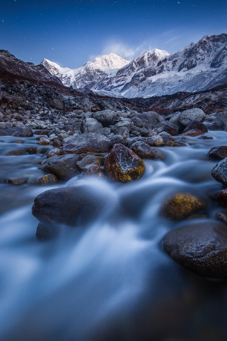
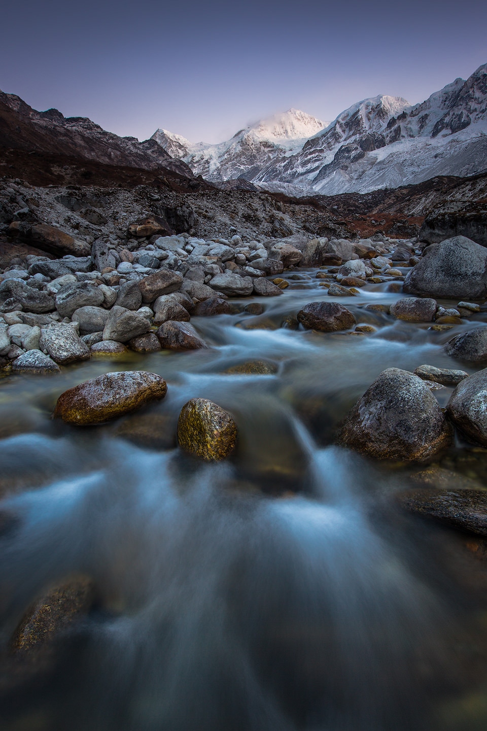
If you’re on the Goecha La Trek in Khangchendzonga National Park the detour to Rathong Valley is a must. As soon as you drop down into the valley coming from Dzongri, you’ll see Kabru South throning above the valley. The valley is deep, but offers good compositions of South Kabru’s east face.
Sinelapche La Pass
Sinelapche La Pass is a high mountain pass (4.663m) on the Nepalese side. It should be on your route on the Kanchenjunga Circuit and offers incredible views of Kabru’s west face above the Yalung Glacier.
Darjeeling
Darjeeling (just as many other towns on ridges in Sikkim or West Bengal) offers distant views of the whole Singalila Range. Just find the highest point in town, hope for clear skies and look for the snowcovered peaks. Bring a tele lens in order to avoid disappointment.
Image Gallery
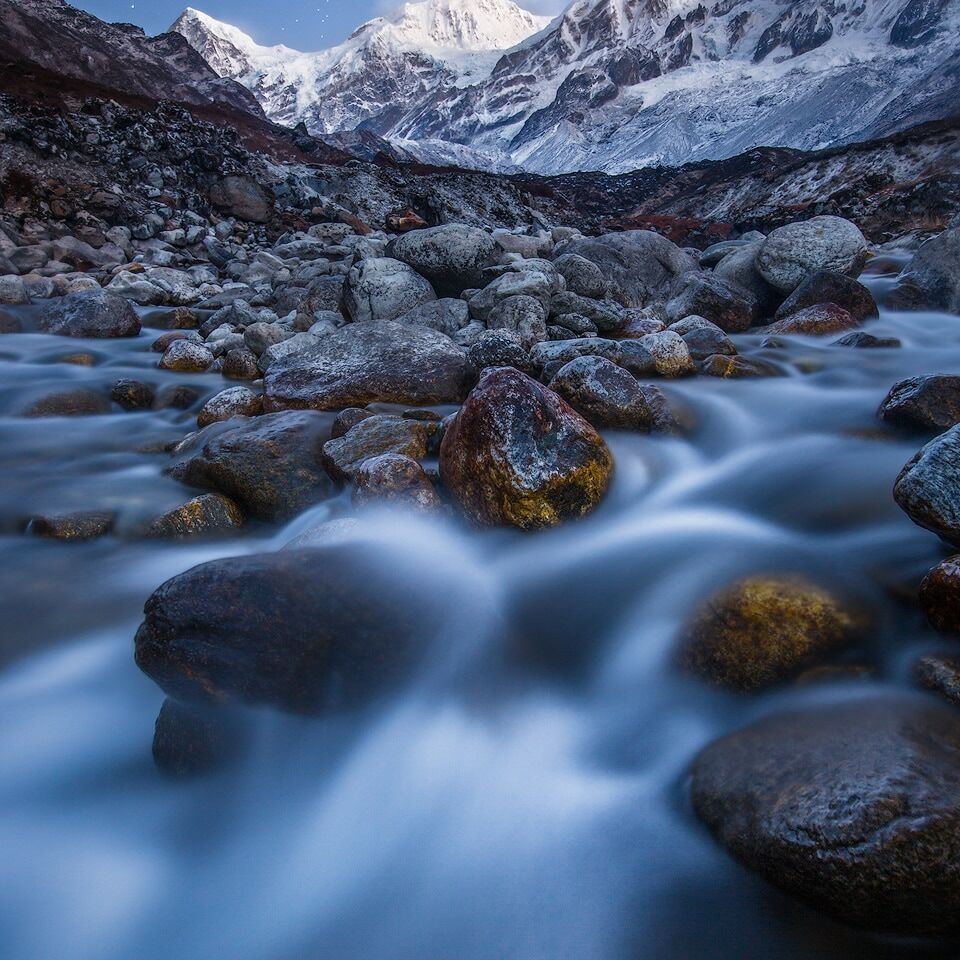
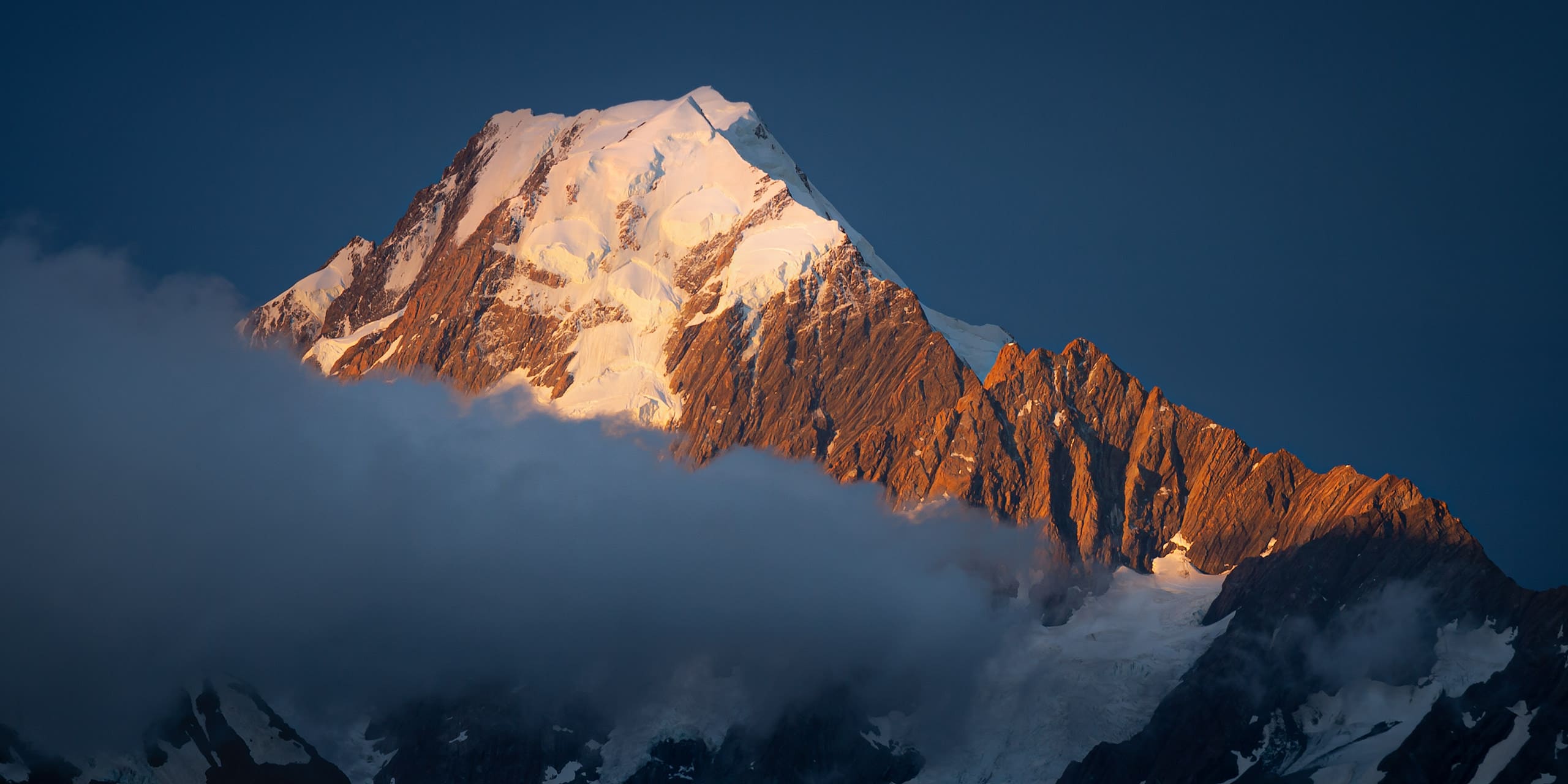
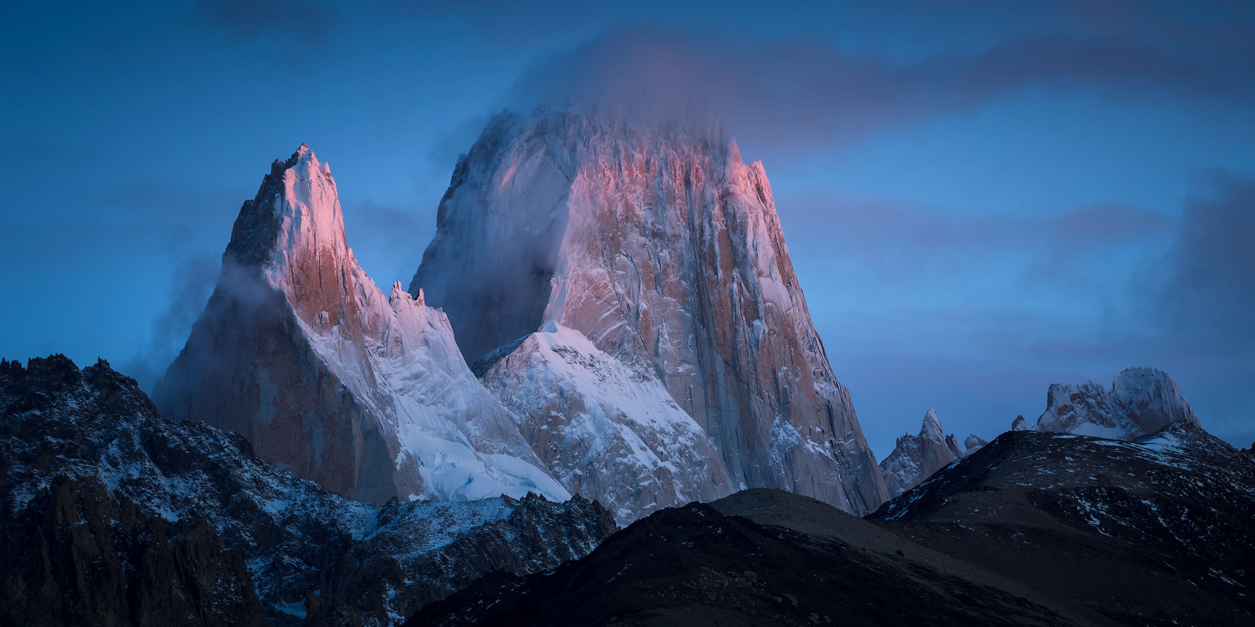
A picture says more than a thousand words they say – check out my image gallery of Kabru South below. Unfortunately I only spent 2 nights in its vicinity, and the weather conditions during our stay in Khangchendzonga National Park were less than ideal. Click on the images to open a lightbox.
On the Blog
If you want to read more about Kabru South and keep exploring the blog, you’ve come to the right place. Here’s a selection of related images, adventures and articles from my blog for you:
31st of December. Top-Of and Best-Of lists all over the social webs – you’ve probably seen enough of these. Still, this is the time to look back at the past…
If you’re a regular reader of my blog, you may remember my post about the trip to Khangchendzonga National Park in northern India. In this post I talked about…
As some of you (those who are following me either on facebook or google+) may already know, I just returned from a 3 1/2 week trip to the indian Himalayas.…
Keep Exploring
