Overview
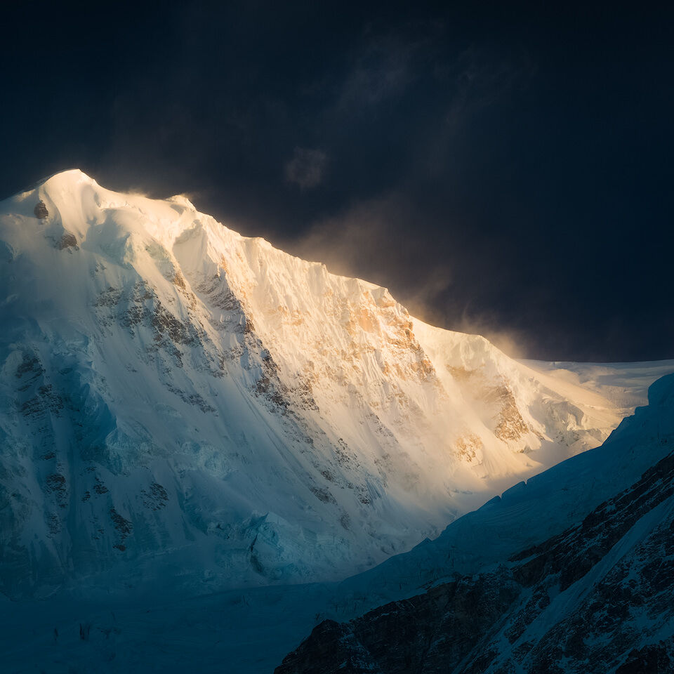
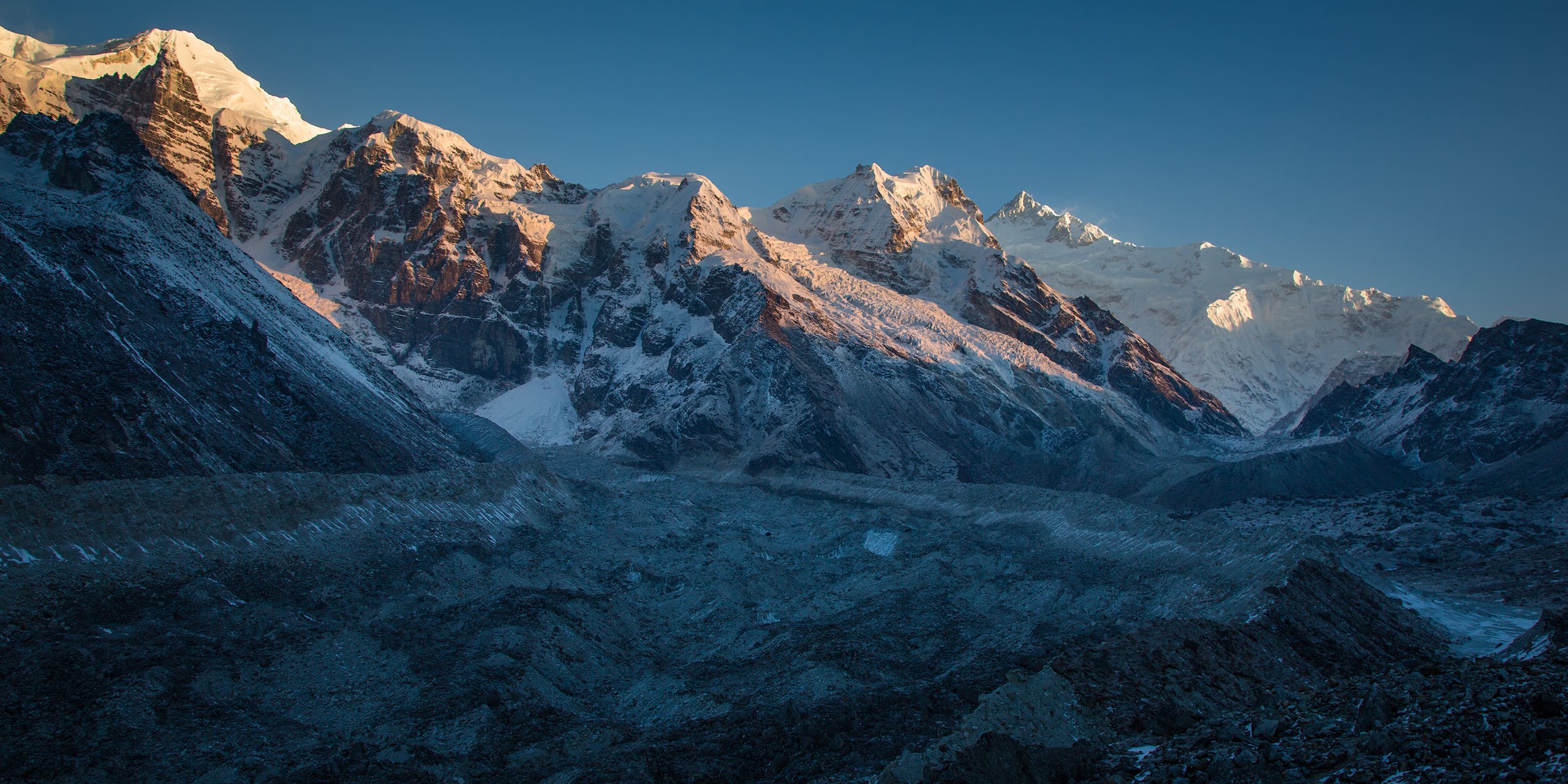
Khangchendzonga National Park is located in the northern Indian State of Sikkim, where it protects an area of about 178.400ha of unique diversity of lowlands, deep valleys and impressive snow-covered mountains including the world’s third highest peak, Kangchenjunga. The national park was first established in 1977 and has then been almost doubled in size in 1997 to include even more of unique himalayan and sub-himalayan ecosystems. Still remaining at a relatively small size, Khangchendzonga National Park has one of the widest altitudinal ranges (more than 7 kilometers of vertical difference) of any protected area worldwide. The park was included in the list of UNESCO World Heritage Sites in July 2016, making it the first indian “Mixed Heritage Site”. Khangchendzonga National Park meets a total of four criteria, acknowledging both its cultural and natural importance.
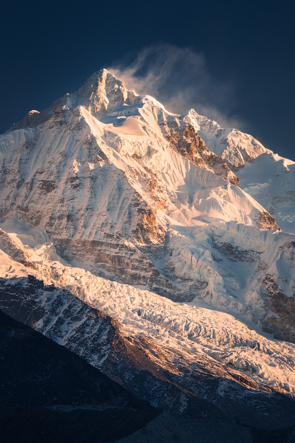
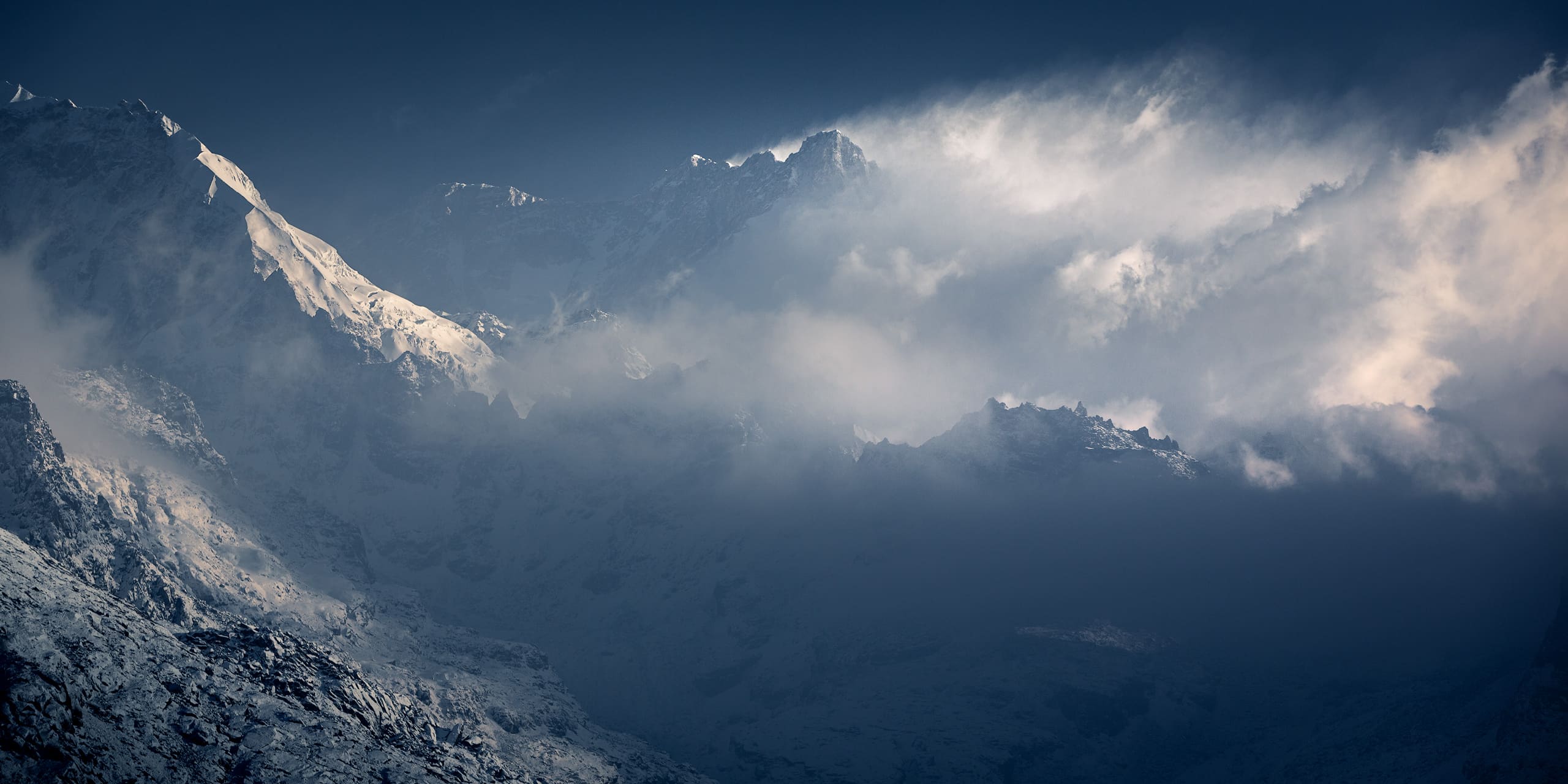
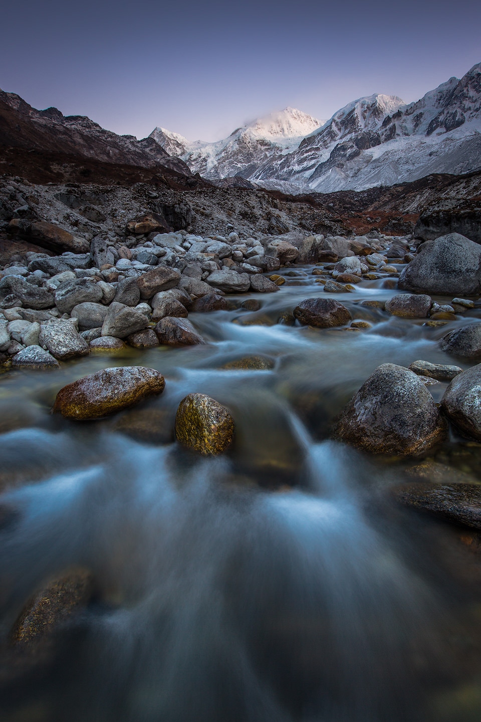
The third highest peak on the planet, Kangchenjunga (8.586m) lies on the western boundary of Khangchendzonga National Park and is one of 20 spectacular peaks with an altitude of over 6.000m located within the park. With a length of 26km and being one of the largest in Asia, Zemu Glacier is amongst the most notable features, alongside 73 glacial lakes including over eighteen crystal clear high altitude lakes. The combination of extremely high and rugged mountains covered by intact old-growth forests and the pronounced altitudinal vegetation zones further adds to the exceptional beauty of the landscape. Besides the natural wonders, there are many fascinating mythological stories associated with Kanchenjunga and its lush valleys, which are integrated in the Buddhist beliefs and the indigenous cultures of Sikkim. As a result Khangchendzonga National Park attracts people from all over the world – mountaineers, photographers and those seeking spiritual fulfilment.

Khangchendzonga National Park
Quick Info
In this section you’ll find a quick overview of the most important facts about Khangchendzonga National Park together with a map and a few links. Scroll down for information about trekking, landscape photography tips and a gallery of my photos of Khangchendzonga National Park.
Facts
- Type: National Park
- Year of Creation: 1977
- Area: 178.400ha
Location
- Country: India
- Province: Sikkim
- Nearest Airport: Bagdogra (IXB)
Khangchendzonga National Park
On the Map
- GPS: 27°41'14.3268'' N / 88°19'53.1228'' E
- Lat/Long: 27.687313, 88.331423
Additional Information:
Trekking
The most popoluar hiking trails are the multi-day Dzongri Trek or the even longer variant leading all the way to Goechala Pass, taking keen hikers to the foot of Kangchenjunga. The gateway to both treks is the lovely town of Yuksom, lying in a green valley, a five-hour jeep-ride away from provincial capital Gangtok. Another option to experience Khangchendzonga National Park on foot would be the Green Lake Trail approaching Kangchenjunga from the north via Zemu Valley – but permits are hard to get.
Landscape Photography
When I came to Sikkim to take photos of Khangchendzonga National Park, I soon learned that photographing landscapes in high mountain ranges like the Himalayas can be more challenging than in other places. They are remote, and you’ll have to carry all your equipment. High altitude makes every step more exhausting – reaching any viewpoint can become a strenous excerise. And since the Himalayas are affected by the monsoon, choosing the wrong time of the year can have you stuck in the clouds or with clear blue skies all the time.
Image Gallery
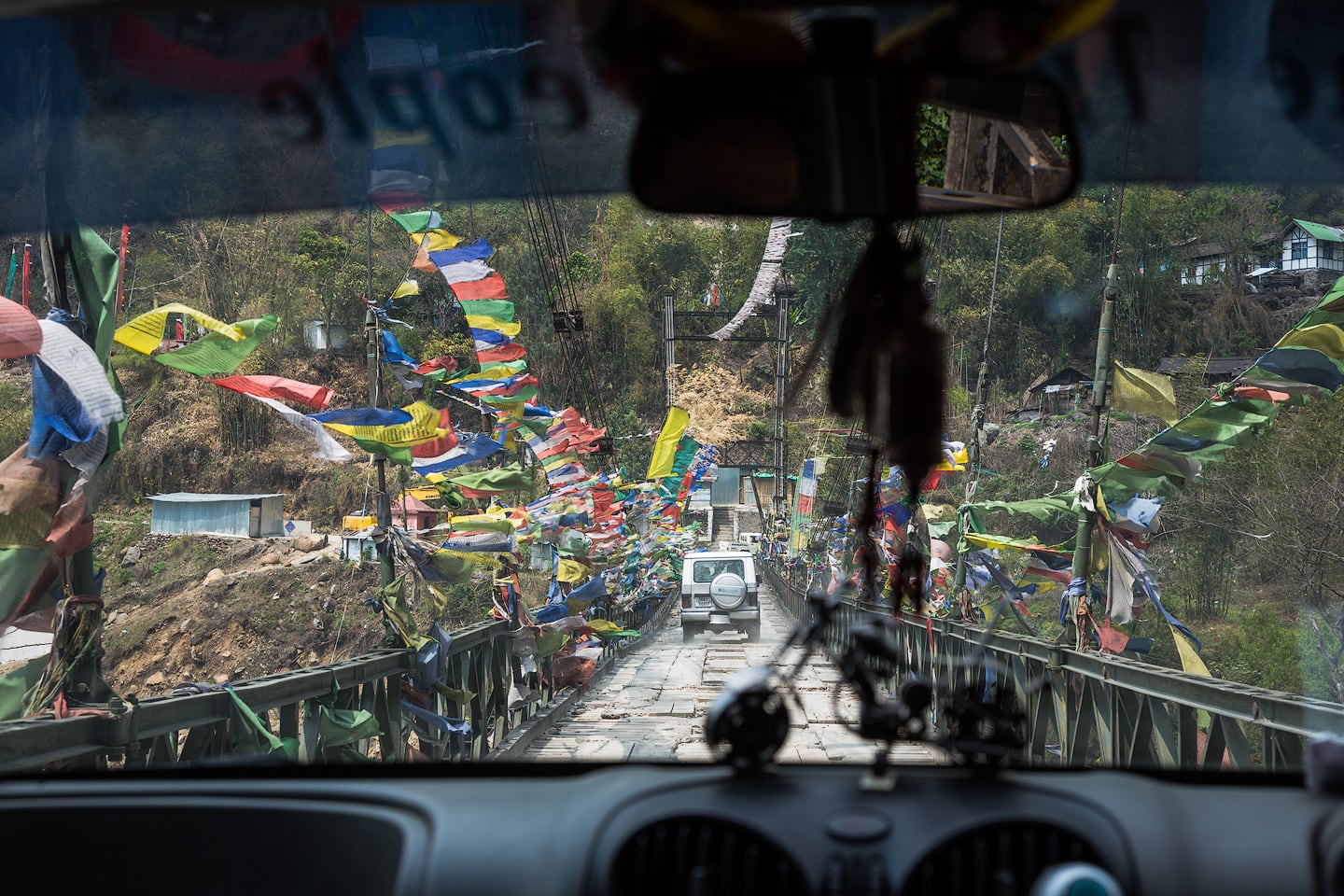
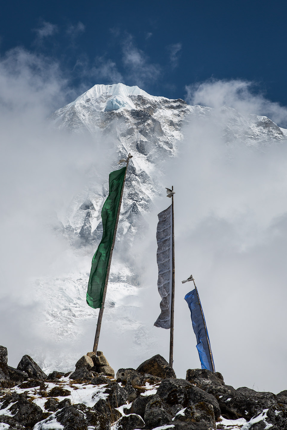
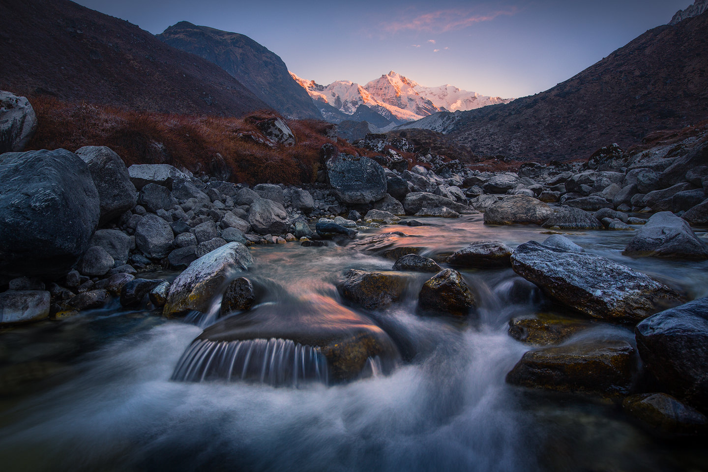
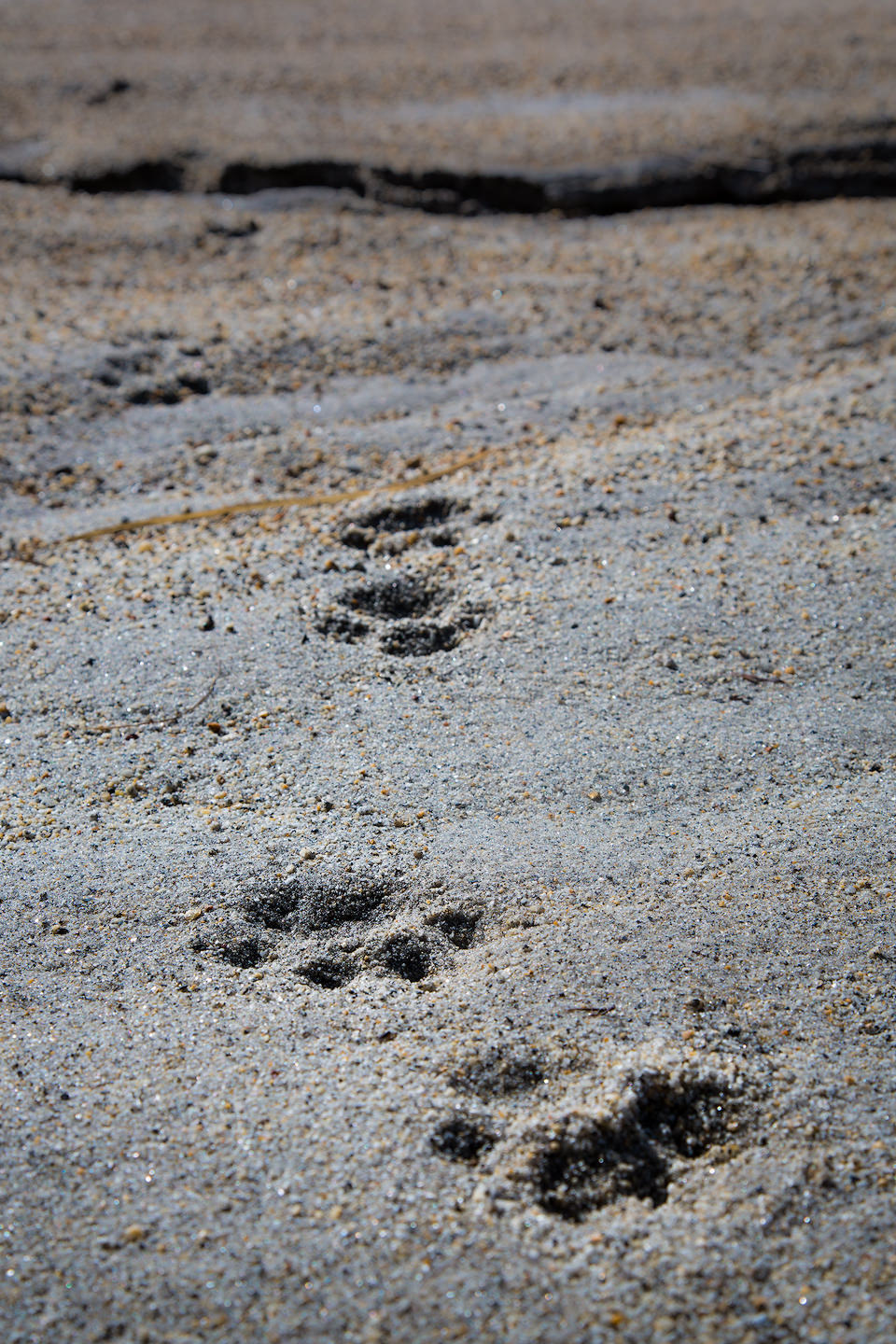
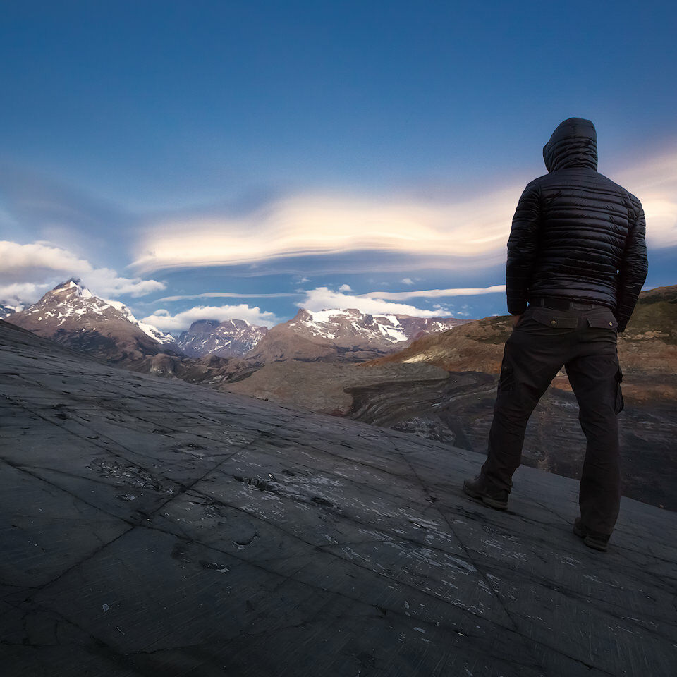
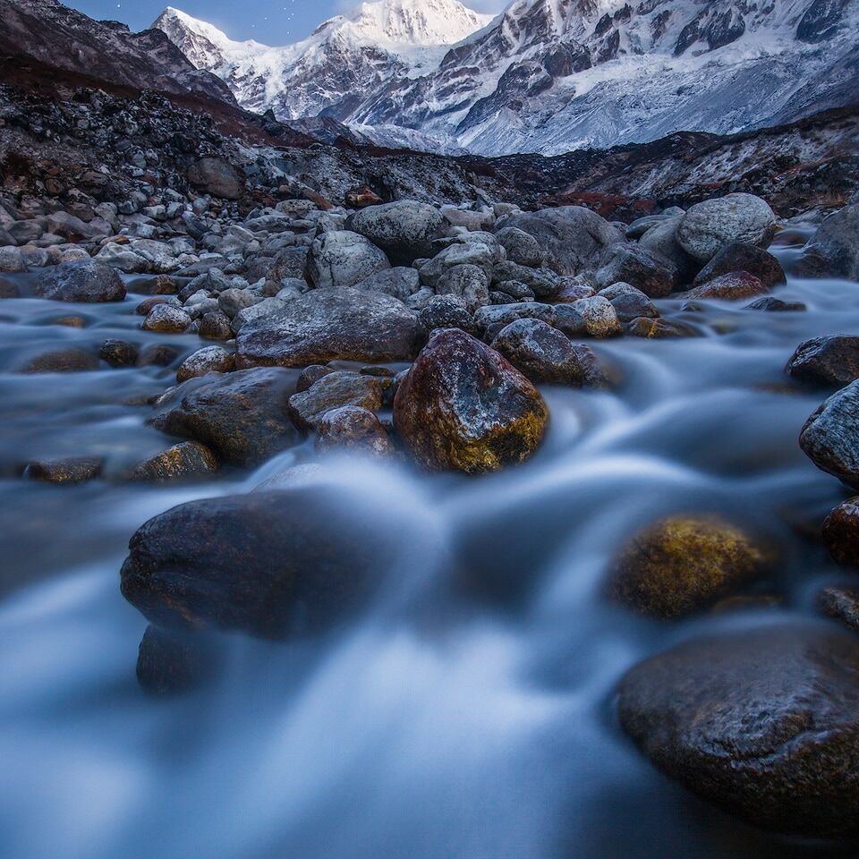
A picture says more than a thousand words they say – check out my image gallery below. I took these photos of Khangchendzonga National Park during my stay in the park in March 2013. All photos were taken along the Goecha La Trek. Click on the images to open a lightbox.
On the Blog
We are not done yet. If you want to read more about Khangchendzonga National Park and keep exploring the blog, you’ve come to the right place. Here’s a selection of related images, adventures and articles from my blog for you:
31st of December. Top-Of and Best-Of lists all over the social webs – you’ve probably seen enough of these. Still, this is the time to look back at the past…
If you’re a regular reader of my blog, you may remember my post about the trip to Khangchendzonga National Park in northern India. In this post I talked about…
As some of you (those who are following me either on facebook or google+) may already know, I just returned from a 3 1/2 week trip to the indian Himalayas.…
